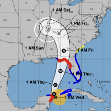
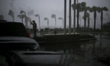
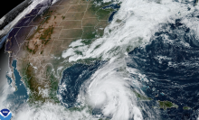
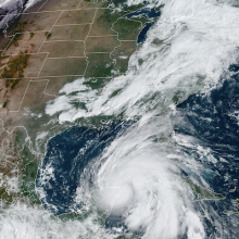
Hurricane Helene is a formidable category 2 Hurricane creeping north through the Gulf of Mexico as of Thursday midday — and, importantly, it's still gaining strength. The situation is serious, with NOAA warning Floridians in particular to prepare for landfall this evening, and noting that "preparations to protect life and property should be rushed to completion."
Tweet may have been deleted
Where will it land? When? How severe will it be at or near landfall? Where will it go once its incursion into the mainland has begun, and what will conditions be like there? There are no hard answers to any of these, only forecasts — typically doled out as illustrative maps. But the good news is that forecasts are, broadly speaking, powerfully accurate.
Tweet may have been deleted
Here's the latest on what the immediate future holds in the form of maps:
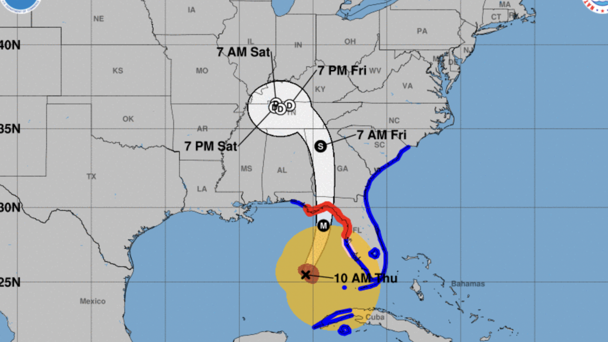
Latest forecast cone for Hurricane Helene:
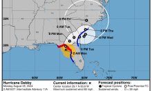
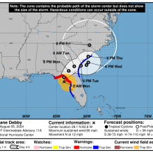
According to NOAA's forecast cone as of 11:00 a.m. ET Thursday, coastal residents should be prepared for hurricane conditions as far west as Panama City, and as far east as the Clearwater area (though Tampa might want to batten down the hatches too, as of this writing, just in case).
The cone itself — meaning the geographical range likely to contain the path of the center of the storm — was showing potential direct hits anywhere from the area of St. George Island near the Bryant Patton Memorial Bridge in the west, to the proximity of Steinhatchee in the east.
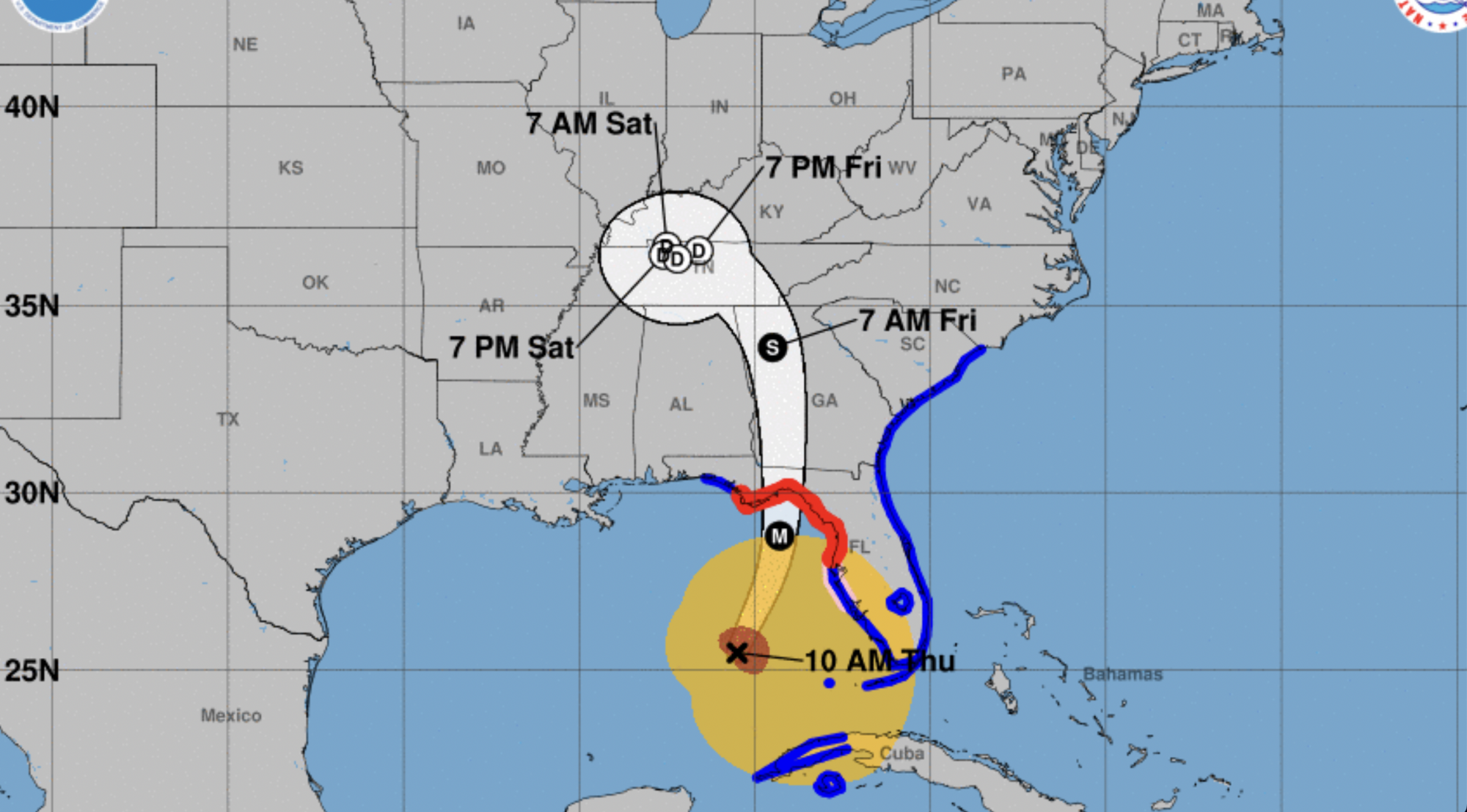
To refresh your memory, NOAA's cone graphics predict the range of potential paths likely to be taken by the center of the storm. Storm surge and other severe conditions may well occur outside the cone, while inside the cone, there will always be some areas that experience relatively mild conditions.
Landfall times for for Hurricane Helene
Tweet may have been deleted
According to the North Carolina Local CBS affiliate WNCT, Helene was expected to make landfall at approximately 8:00 p.m. CT (which is 9:00 p.m. ET). Their forecast showed the storm weakening from 120 mph winds at landfall to 65 mph when it reaches the vicinity of North Carolina about 12 hours later.
Spaghetti and "wobble" maps for Helene
Tweet may have been deleted
The above map, posted by a storm chaser calling himself Reed Timmer, PhD shows a grouping of potential paths as of Wednesday night or early Thursday morning, nearly all of which appear to be making a beeline for the Big Bend.
As the landfall approaches, some of what were called "spaghetti" models when the storm was further out begin to narrow and look much less spaghetti-like. They also hint at the capricious storm's final plan of attack. Crucially, a storm ends up charting a course outside of the forecast cone 1/3 of the time, according to NOAA.
Tweet may have been deleted
The above maps, posted by Orlando meteorologist Noah Bergren, hint that Helene's eye may be turning slightly east, or may just be wobbling slightly off course before it returns to the cone — either is possible. Though, importantly, Bergren points out that the true "center of circulation" may well still be in the cone. The storm still appears to be headed toward the vicinity of the Big Bend, but it could also veer off the expected course, impacting — for instance — Gainesville more than previously expected.
So while forecasting maps are clues about the future, it's wise to follow NOAA's more general advice at times like this, particularly the part that says "Residents in [affected] areas should follow advice given by local officials and evacuate if told to do so."
Tweet may have been deleted
If you're looking for ways to help provide assistance in response to Hurricane Helene, visit the websites for organisations like Operation Airdrop.
